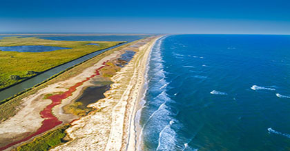
The proposed project will create the first ‘Digital Twin’ of the Romanian coastal zone by integrating geomorphological, remote sensing, and bathymetric measurement data with the results of laboratory sedimentological analyses and mathematical modeling into a database organized according to Open Access and FAIR principles, as well as visualization in a GIS instance, which will be made available to a wide range of end users.
Field measurements regarding the geomorphology of the coastal zone will be coordinated with the collection of remote sensing data (satellites, drones). New bathymetric data will be integrated into a new grid required for hydrodynamic numerical modeling of the Romanian coastline. A system will be developed to integrate all these types of data for their collection, storage, and access within the FAIR system. The database, hosted on a dedicated server, will enable the creation of the first ‘digital twin’ dedicated to Romanian beach areas, integrating—according to Open Access and FAIR policies—information from direct measurements, remote sensing, and the numerical model updated in line with significant shoreline changes following direct restoration interventions. Thus, an important tool will be created for identifying and updating areas prone to marine natural hazards on the Romanian coast, as well as those that allow the development of Blue Economy activities. The ‘digital twin’ of the Romanian coastal zone will provide a broad spectrum of users (citizens, entrepreneurs, scientists, and policymakers) with information on the dynamics of the coastal zone, especially of low shores (beaches), offering an innovative set of interactive and visualization tools, useful for informational, educational, and coastal management purposes.
